The exploration of Blackmoor Valley, and
|
 |
 |
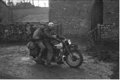
Malcolm Cotter and Austin Sanders outside Main's barn, 1957
Photo R Charnock |
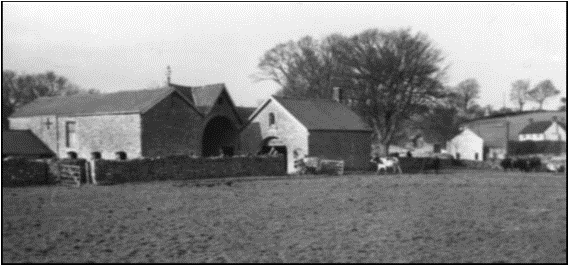
Main's barn and Priddy Green, 1957
Photo R Charnock |
In pre-hut days we camped in Velvet Bottom or on Piney Sleight but by Easter 1955 MCG membership had grown to 18 and finding a suitable hut was a priority. In 1958 we leased Netherwood Cottage at Charterhouse, and Blackmoor became MCG's home ground.
 |
 |
Camp at Velvet Bottom, 1957
Photo R Charnock |
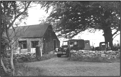
Netherwood Cottage, 1960
Photo B Templeman |
Two major MCG projects in the mid 1950's were Cooper's Hole in Cheddar Gorge, and Timber Hole in Velvet Bottom a short distance from our base. It seemed to all MCG members at the time that the dry valley running from Netherwood Cottage to Cooper's Hole via Timber Hole should have an underground equivalent, yet there were no major caves between Blackmoor Valley and Cheddar Gorge. Permission was sought from Bristol Waterworks Company and excavations soon began at Blackmoor Swallet in 1960. Work also commenced at a shallow depression above the swallet. This was the start of the search for the Blackmoor Master Cave
 |
 |
 |
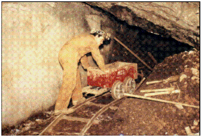
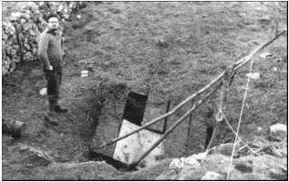
Cooper's Hole, Cheddar, 1962 photo M Cotter |
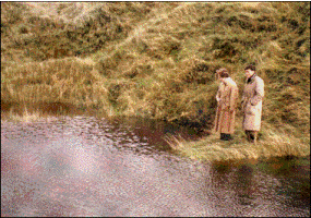
Timber Hole, Velvet Bottom, 1958 photo R Charnock |
Margaret Openshaw and Brian Hillman at Blackmoor Swallet, 1958 photo M Cotter |
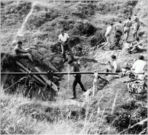
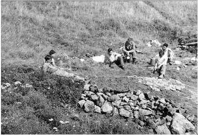
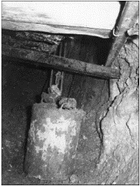
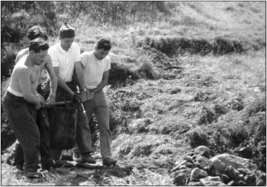
In summer, when water levels allowed, a 1.6m long passage was entered from the swallet and lined with railway sleepers. Digging progressed in the streamway until an aven was reached where drilled shot holes were found in the side of the passage. The tunnel was extended to 10m, reaching a depth of 4m and ended at an aven with dangerously poised rocks overhead. An effort was made to enter the aven from above by sinking a 1.3m square shaft from the surface but this was plagued by subsidence and had to be abandoned. Blackmoor was not give to give up its secrets easily.
 |
 |
Blackmoor Swallet, 1960
photo T Knibbs |
Blackmoor Swallet, 1960
photo M Cotter |
 |
 |
 |
Blackmoor Swallet, 1960
photo M Cotter |
Blackmoor Swallet, 1960
photo M Cotter |
Blackmoor Swallet, 1960
photo M Cotter |
In 1961 our attention turned to the "depression" above the swallet and work was concentrated at this point once the Blackmoor Swallet digs were abandoned.
Excavating downwards revealed a small cleft. By blasting the cleft and prising out large rocks, the way widened to reveal a chamber 5m across with several ways on (Don's Chamber). In the floor was a semi-circular hole 2m deep with a neat wall of mining deads holding back a scree slope beyond which a lower passage led on. Several run-ins were seen in this chamber which was 6m below the surface. As in the swallet, there were signs of mining (old pit props). Removing more rocks revealed a 3m deep chimney to a dry stream passage which was disappointingly short. This passage was water-worn with mine timber in excellent condition. Blasting continued most weekends until a hole 2.5m deep had been made to a final rift only 4cms wide.
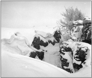 |
Charterhouse Rakes, winter 1963 photo attributed to T Kniibbs |
The discovery and exploration (from 1960 to 62) by MCG of Pinetree Pot and Ubley Hill Pot diverted attention from Blackmoor Shaft until 1963, and from January to March Mendip was under a blanket of deep snow. When the snows melted work recommenced until storage space petered out
In late 1963 it was realised that the only way to progress would be to empty the shaft of all fill. Before work could start, MCG's lease at Netherwood Cottage ran out and the club found itself homeless. Land was acquired at the Stirrup Cup and a timber-framed hut was acquired from Salisbury. So cottage building during 1964 put off further work on Blackmoor Shaft.
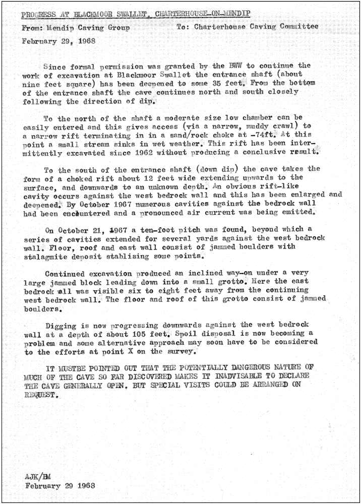
In July 1965 work began to remove the fill from the 2.7m x 3m shaft. 9m of fill had to be removed - some 80m3 of boulders and clay. When the shaft was 4m deep lifting tackle was installed. A petrol-driven hoist was soon added. The spoil tip extended several metres down valley. Several items were found which indicated the presence of miners; an iron stemple, shoring timbers, a clay pipe filled with tobacco and a leather boot sole. It was assumed that Blackmoor Shaft was an enlarged lead vein or part of a scheme to reach and remove obstructions from the nearby Blackmoor Swallet.
From 1965 to 1967, work continued to clear the fill from the shaft. Excavation became more difficult as the shaft was deepened and large boulders were encountered.
 |
Photo montage 1968 - Blackmoor Valley towards Blagdon Hill
The Blackmoor Shaft spoil heap is visible in the foreground (just left of centre) with the fenced-off shaft to the right 2 is Waterwheel (note post-flood debris) and 3 is Upper Flood Photos by R Charnock |
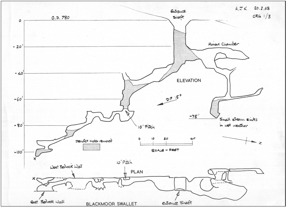
In 1967 the top of a 3m drop was reached leading to a steeply sloping rift for about 15m. Digging at the bottom of the extension gained a further 3m in depth. Passages in the dig in the northern wall came close to the shaft but at 10m lower down.
In July 1968 the Great Flood opened up three new entrances, all leading to natural caves. Blackmoor Shaft was no longer a priority and work stopped at -30m.
The filling of the shaft by the miners was most unlike the usual lead mining procedure. Tony Knibbs recalled a local legend: that " a 'beautiful cavern' was allegedly discovered during mining at Blackmoor and it is just possible that some mine-owner was preservation conscious and ordered the re-filling as protection. Commercially, an unlikely story I'm afraid. The mystery continues." If only Tony had known!
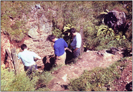 |
Blackmoor Shaft (or is it Blackmoor Swallet?)
photo T Knibbs |
 |
 |
| Click to continue to next page |
or jump to:
| Back to top |
Page created 06 October 2009, last updated 14 February 2010 |
Mendip Caving Group. UK Charity Number 270088. The object of the Group is, for the benefit of the public, the furtherance of all aspects of the exploration, scientific study and conservation of caves and related features. Membership shall be open to anyone over the age of 18 years with an interest in the objects of the Group.